
NJ weather: Three days of unseasonably chilly temperatures
The Bottom Line
Yes, it's December. And yes, it's supposed to be getting colder this time of year. But not this cold.
Yet again, New Jersey falls into an unseasonably cold air mass. Morning freezes will be followed by daily highs barely in the 40s. It is not even close to "extreme cold" or "dangerous cold" — just back to "bundle up" weather. Feeling more like January than December.
But at least the chill is temporary. After three days of cold weather — with a few flurries along the way — we will warm up again by the weekend.
Our next big storm system will be a strong cold front arriving on Sunday. Heavy rain and wind could have significant impacts on the second half of the weekend.

Tuesday
You will definitely notice a change in the air Tuesday morning, as chilly air is back. (Not just throughout the Northeast, but over the Great Lakes and Northern Plains too.)
Most of New Jersey is starting the day in the 30s, with highs only reaching about 40 to 45 degrees in the afternoon. Keep in mind, normal highs for this time of year are close to 50 degrees, so we are running on the chilly side.
While we should catch a couple hours of sunshine early on, clouds will fill in from mid-morning on. The afternoon may look pretty gray at times, adding to the cold/wintry character of the day. The daytime hours should stay dry.
There is a chance of a light snow or rain shower Tuesday evening, as a weak disturbance swings by. I do not anticipate any travel difficulties though. It will be cold — but with a blanket of clouds overhead, temperatures will not fully tank. Thermometers should end up around the freezing mark, in the lower 30s, by Wednesday morning.
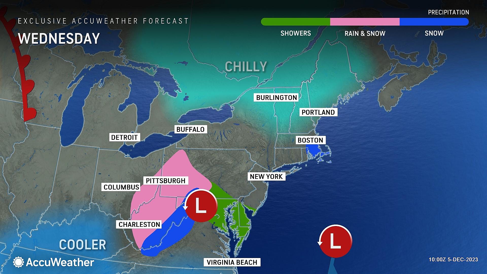
Wednesday
Clouds will continue to win the sky on Wednesday. And we will pick up a chilly northerly breeze too.
So it will be another January-ish day, with high temperatures only in the lower 40s. I can't rule out a flurry.
Thursday
Thursday will be the third and final unseasonable cold day. And probably the coldest of the bunch, with highs barely reaching 40 degrees.
Skies will be a bit brighter and winds will be lighter than Wednesday. Once again, maybe some flurries (especially in the morning).
Friday
Changes kick in Friday, as this cold air mass shifts and warmer air filters into NJ.
Highs on Friday will reach the lower 50s, under partly sunny skies. If all goes well, Friday should be a very nice early December day.
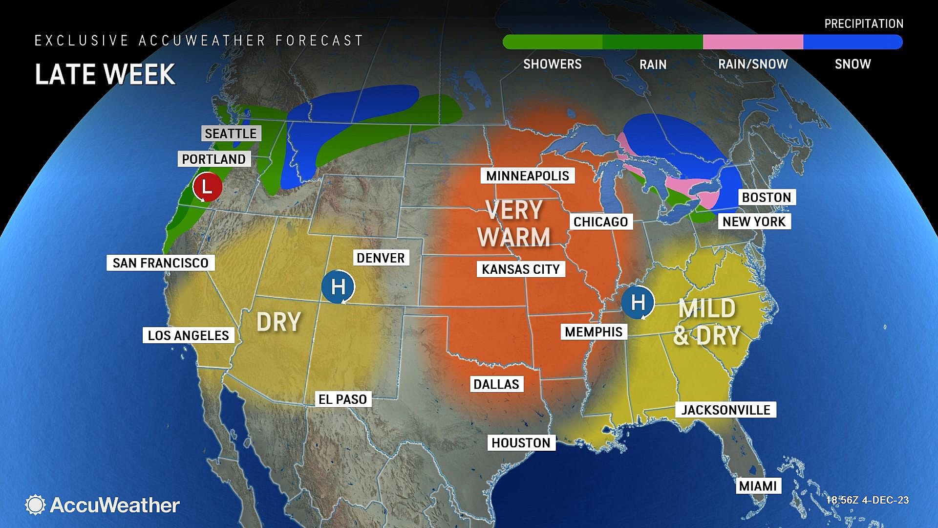
The Weekend & Beyond
Saturday looks good too, with sunshine and mild mid 50s.
However, Sunday looks like a problem. For the second week in a row, the second half of the weekend contains a rain chance. Forecast models show the impending cold front to be pretty strong. While temperatures surging toward 60 degrees will prevent any wintry weather (i.e. snow) at all, heavy rain and wind could be a concern.
I do not want to dig too much into the exact timing of Sunday's rain just yet, since it's six days away. But it is something we will focus on intently in the coming days.
Behind the front, cold air returns. I am thinking temperatures will trend mainly on the chilly side through the middle third of December.
Christmas snow - When it's happened, and the 2024 odds for NJ
Gallery Credit: Mike Brant
Dan Zarrow is Chief Meteorologist for Townsquare Media New Jersey. Follow him on Facebook for the latest forecast and realtime weather updates.
Glossary of NJ winter weather words and phrases
Gallery Credit: Dan Zarrow
More From Cat Country 107.3

