Tuesday NJ weather: A ‘blah’ day, with clouds and spotty showers
The Bottom Line
This is a pretty active weather week for New Jersey. A series of storm systems will keep the forecast flip-flopping between wet and dry, cool and mild, pleasant and not.
In a nutshell, you should know that 1.) Thursday will be wetter than Tuesday, 2.) Wednesday will be the warmest day of the week, and 3.) the end-of-weekend system is very much up in the air.

Tuesday
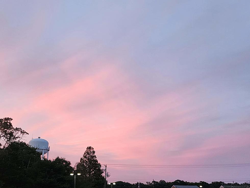
Just eh. Despite the fiery sunrise and quiet morning, clouds and spotty showers will make for a gray and even raw day overall. But it will not be a total washout.
As of this writing (7 a.m.), the leading edge of showers is about 100 miles west of New Jersey. First raindrops should arrive around 10 or 11 a.m., spreading east into the afternoon. Don't expect much here — those showers and sprinkles will be light and very much hit or miss. Rainfall totals will only be a few hundredths of an inch.
Meanwhile, mostly cloudy skies will prevent temperatures from climbing above the lower to mid 40s. Slightly cooler than Monday, although still slightly above seasonal normals.
Rain will exit around sunset Tuesday, and skies will slowly clear into Tuesday night. However, there will be enough residual ground-level moisture for fog to form. Best chance for fog will be between Midnight and daybreak Wednesday. Pockets of dense stuff may slow you down, especially in the southern half of the state.
Overnight low temperatures will only dip into the upper 30s or so. Above freezing — rather unusual for January.
Wednesday
Fog will not last long Wednesday, as a stiff westerly breeze kicks in around sunrise. That will mix up the air. And also help to warm us back up.
Wednesday actually looks like a pleasant mid-January day, with pockets of sun and clouds. The breeze will last throughout the day. And high temperatures should pop into the lower 50s — the warmest day of the week.
Still no freeze Wednesday night, with lows again around the upper 30s.
Thursday
Our next storm system rolls in Thursday. And the day looks pretty wet.
My forecast has periods of rain from pre-dawn through late afternoon Thursday. Potentially close to a total washout. I don't see anything crazy, as convection and atmospheric moisture will be limited. Rainfall totals will probably approach an inch for a good part of the Garden State.
Thursday will stay cloudy and cool, even if you catch a break in the rain. Highs will range from the lower 40s (North Jersey) to lower 50s (South Jersey).
Friday
We will dry out again to close out the workweek, although temperatures may start to slide backwards again by Friday afternoon.
I'll put highs in the upper 40s Friday, with top wind gusts around 20 mph. That falls in the breezy category. It should be a partly sunny and dry day.
The Extended Forecast
By the numbers, Saturday will probably be NJ's coldest day of the week, as high temps settle back into the seasonable lower 40s. While the day will start with sunshine, clouds will fill-in soon enough.
Another storm system has been showing up in model guidance in the Sunday-Monday time frame. But those forecast models are anything but solid as to how that one will play out. Rain vs. Snow vs. Nothing at all? You know I like you focus on "one storm at a time". So I'm not really concerned about piecing together how this one will play out until we get past Thursday's rainmaker. Stay tuned!
Dan Zarrow is Chief Meteorologist for Townsquare Media New Jersey. Follow him on Facebook or Twitter for the latest forecast and realtime weather updates.
KEEP READING: Scroll to see what the big headlines were the year you were born
LOOK: Food history from the year you were born
More From Cat Country 107.3


